California Highway 25 (Airline
Highway)
Written by
Steve Johnson (with some additions)
California Highway 25 (aka CA-25,
SR25 or “Airline Highway”) cuts its way between the Gabilan and Diablo Mountain
Ranges of Central California, offering cyclists a way to travel north-south
through the state while avoiding the heavily trafficked US-101.
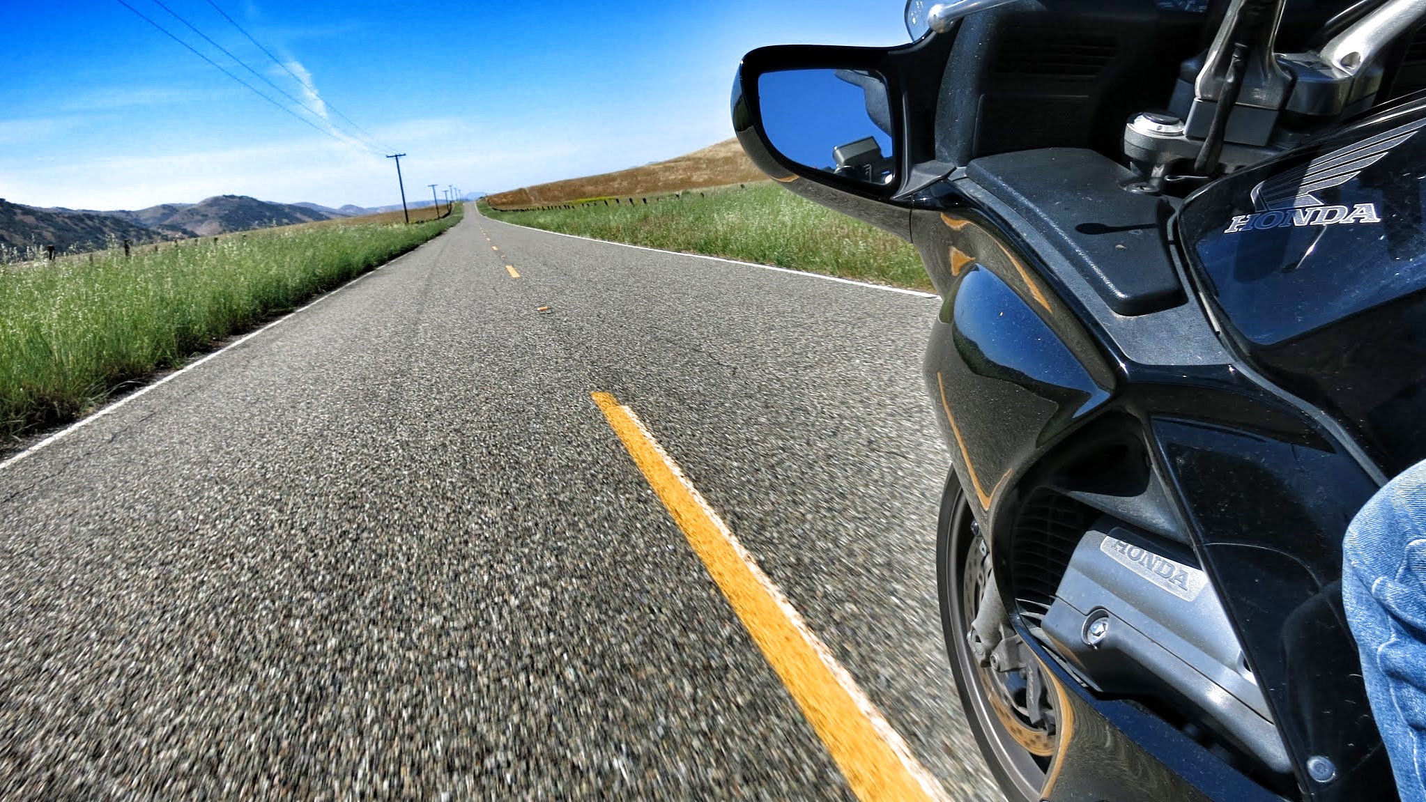
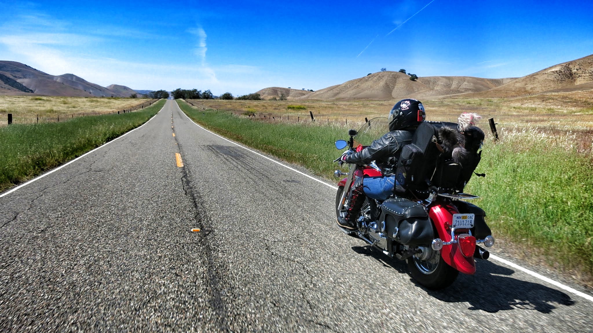
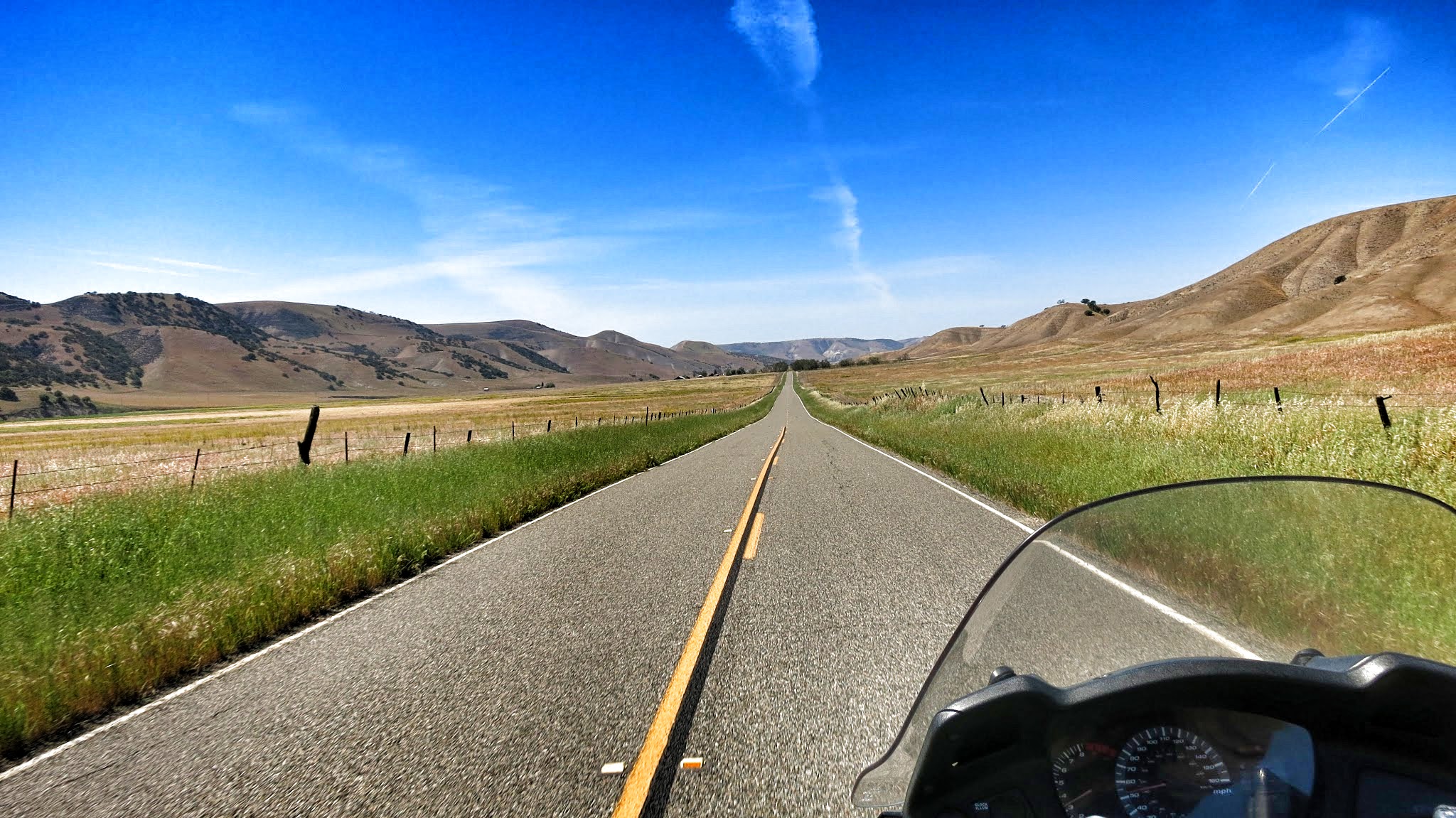
Wide open road
along Highway 25
Airline Highway gets its name
because before the advent of radio communications, airplane pilots had used the
highway as a visual aid.
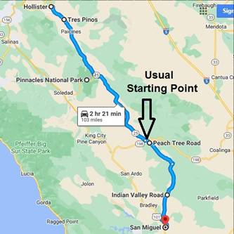
The most enjoyable portion of
Highway 25 starts in the south where it intersects with Highway 198 (near Peach
Tree Road).
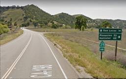
From Coalinga take CA-198 west From San Lucas take CA-198 east
From there, it’s a 51 mile stretch
north to the town of Tres Pinos. Along the way, there are no services, no rest
stops, only farms and cows. There’s no gas along Highway 25 until you hit Tres
Pinos.

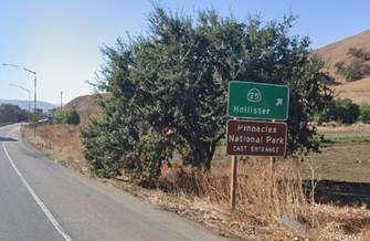
To start at the north end of CA-25 (just south
of Gilroy) exit Hwy 101 to Hollister.
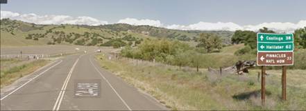
Coming from the north (Gilroy) From the south thru San Juan Bautista
If you’re driving Hwy 101 from the
south, skip the additional CA-25 mileage. Instead take the CA-156 exit toward
the historic town of San Juan Bautista. Later you will take the signed CA-156B exit
right into Hollister and begin your CA-25 outside of the city.
Towards the south, it officially
ends at CA-198, but if you have time to add you’re your scenic road trip… Peach
Tree Road and Indian Valley Road connect that southern starting point (CA-25
& CA-198) with San Miguel (northern San Luis Obispo County).
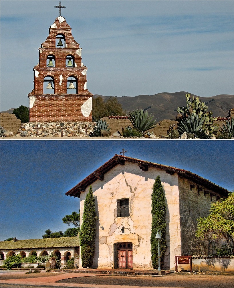
CA-25 and then some! Mission
San Miguel Arcangel
Difficult to just keep
driving/riding? You’ll travel along the San Andreas Fault. Check out the
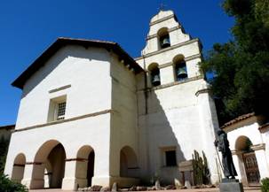
effects of faulting in Hollister! You’ll be tempted by historic mission towns at
both ends of your trip. You’d have to pass by the eastern (better) half of our
newest national park, Pinnacles!
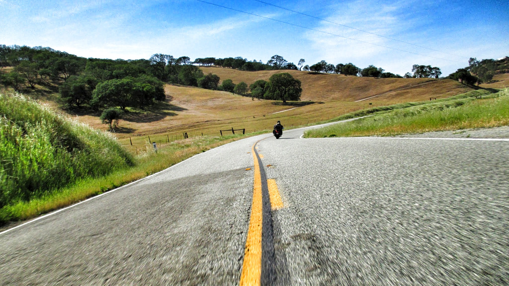
The
landscape is so beautiful here, you don’t want to ride fast. Some wide sweeping
curves, too.

Drive in the
spring for gorgeous, yellowy hillsides flanking both sides of highway.